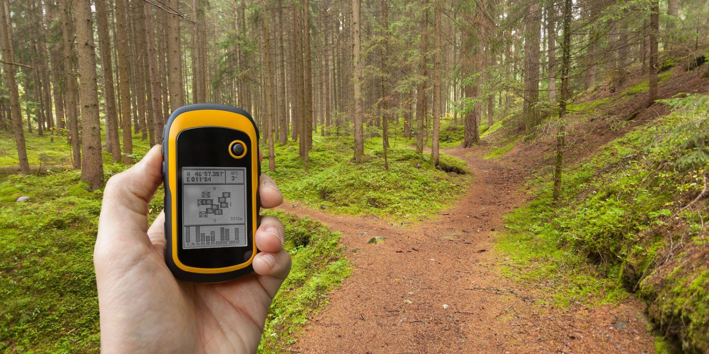
Berntsen International is the world’s largest manufacturer of survey marks. I worked with them to develop a website for amateur benchmark hunters and other hobbyists who use handheld GPS receivers (including today’s smartphones).
In addition to defining the navigation structure for the website, I wrote a few articles and edited many others.
When Congress passed the Land Ordinance of 1785, the U.S. General Land Office (now the Bureau of Land Management) began surveying the western fringes of the young country. GLO survey teams established meridian and base lines for the Public Land Survey System that created land divisions. Many of those lines were able to create survey controls for multiple states from one mountaintop.
But when California joined the union in 1850, GLO surveyors realized that a single meridian and base line would not suffice. For one thing, California’s slanted shape meant that no one meridian line could run the entire length of the state. Also, it would take too long to survey the large, topographically complex state from a single point. GLO Deputy Surveyor Col. Leander Ransom was therefore authorized to establish as many points as he thought were required to cover California.


